
Data centre infrastructure is usually explained through plans, figures and technical documentation. The challenge was to communicate something broader: how a technology network can be integrated into a rural ecosystem, relate to local communities and use resources responsibly.
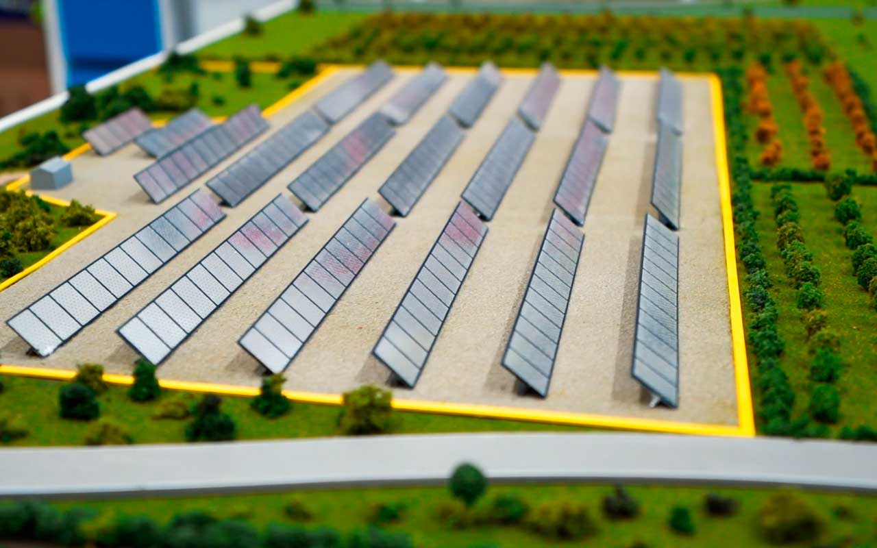
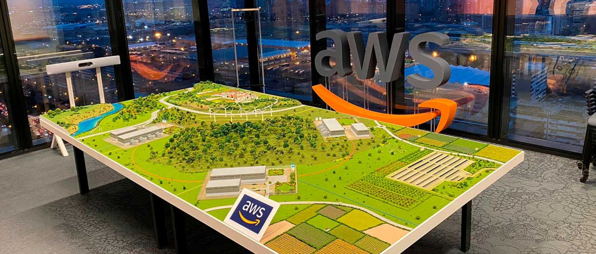
A large-format conceptual scale model was developed to represent the territorial system as a whole. Rather than reproducing buildings alone, the piece makes visible the relationship between technology, landscape, logistics, energy and population centres.
The bird’s-eye view makes it possible to locate the infrastructure and understand its scale without requiring technical knowledge. In this way, an abstract conversation about territorial integration becomes a shared visual journey.
The conceptual language made it possible to concentrate the relevant information, simplify secondary elements and maintain a clear reading even for very different audiences.
The result provides a common physical reference point for meetings with local authorities, partners and project teams.