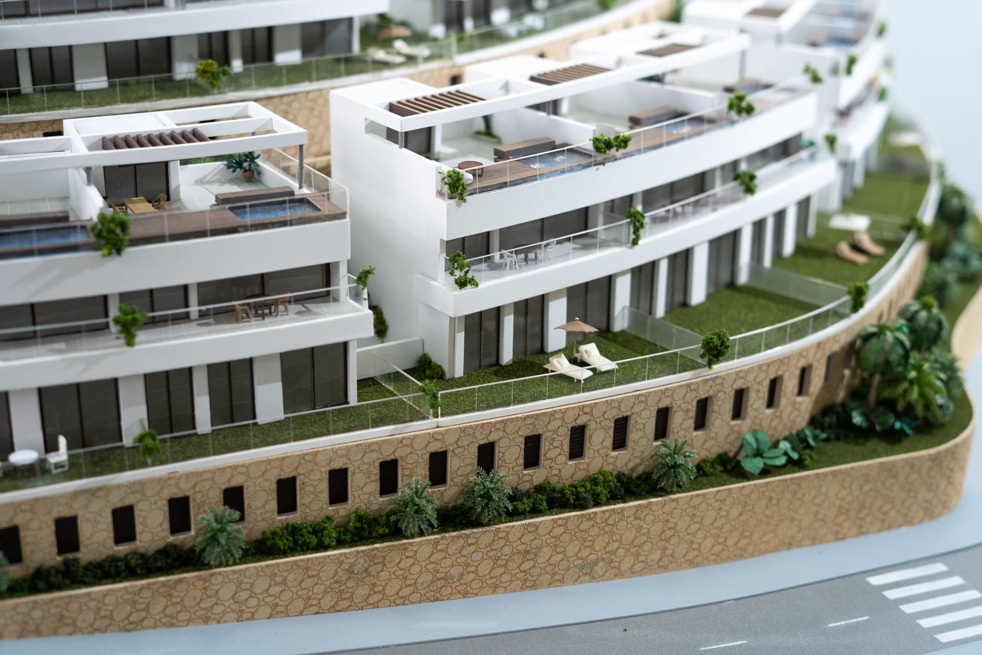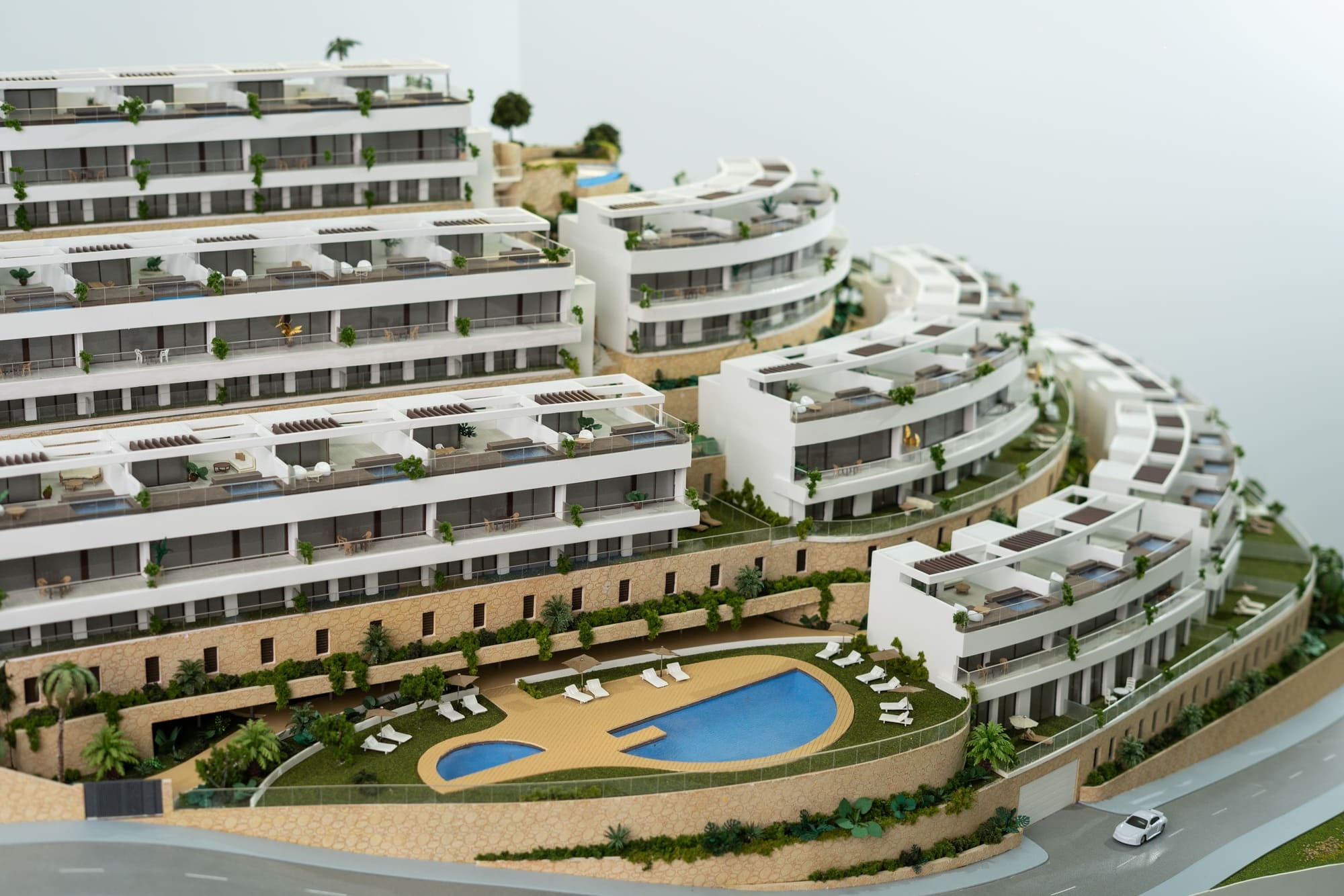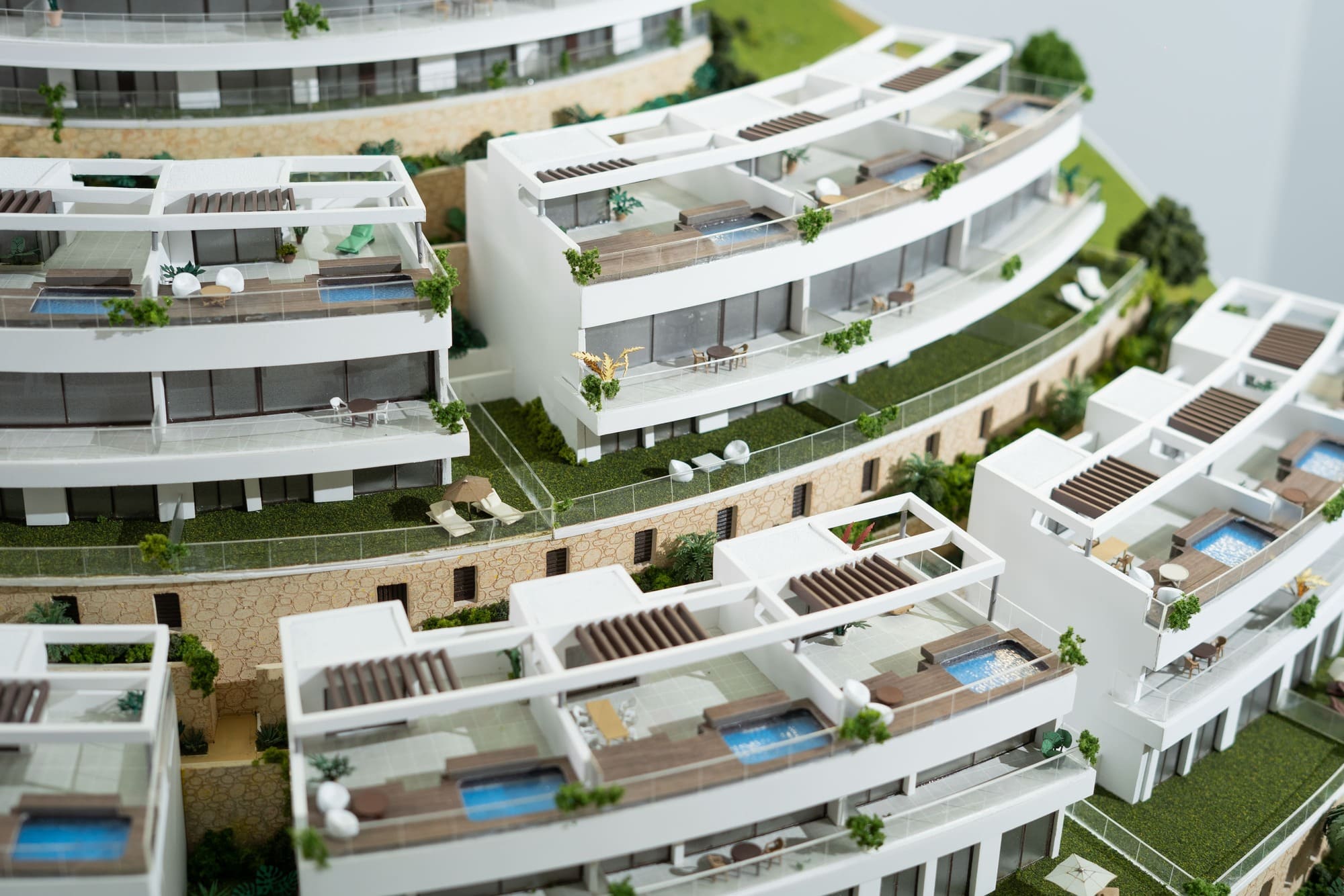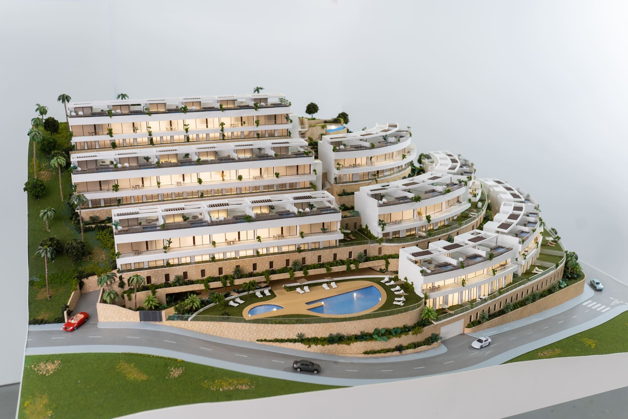

In a development built on a hillside, the section of the land is almost as important as the plan. The Kos needed to demonstrate that the stepped arrangement of the buildings allowed the views from the rows behind to be preserved.
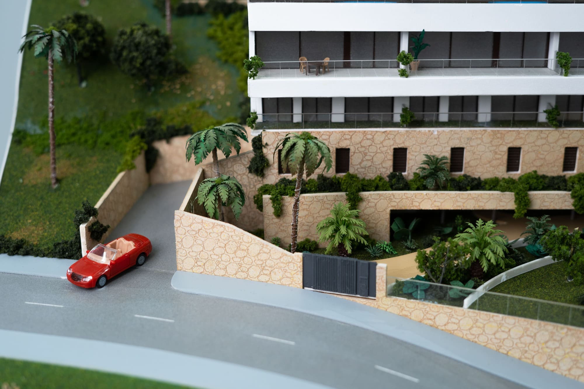
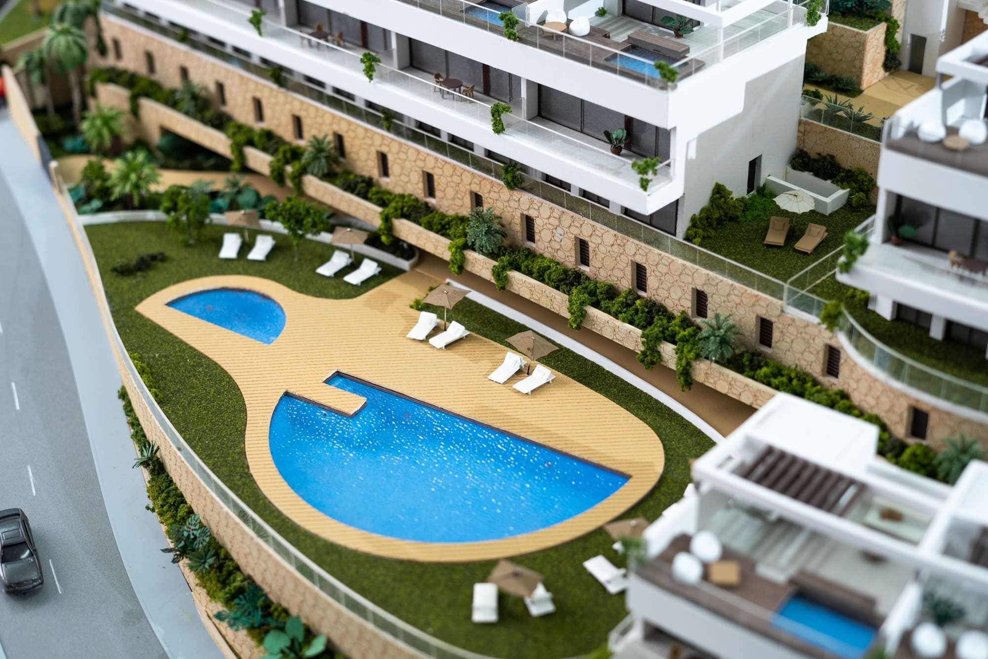
A realistic residential scale model was produced at 1:100 scale, reproducing the steep topography, the architecture and the relationship between the different platforms. The three-dimensional view makes it possible to assess heights and alignments that are difficult to interpret on a plan.
Buyers can visually follow the slope, identify each row and understand why one building does not block the views of the one behind it. The model turns a technical site-planning condition into an immediate sales argument.
The design work focused on carefully adjusting levels, transitions and the junctions between the terrain and the buildings in order to maintain accuracy without sacrificing visual clarity.
The result reduces uncertainty about orientation and views, makes the development easier for the sales team to explain and helps buyers understand the value of the topography as an integral part of the project.